Data Traceability

Always know where your data came from, and who created it. TBC allows you to have full data traceability back to the raw survey measurements throughout your survey workflows. This means if you have to make a correction, like adjusting a rod height, you can identify this easily and your data value updates immediately throughout any processing and adjustments you’ve made. Full traceability, instant results.
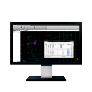
Survey Adjustments

TBC has a range of tools for processing control, running traverse adjustments, and combining all of your data sources including GNSS, level and total station measurements.
TBC uses robust calculations including least squares adjustments within the processing engine so your network is as accurate as it can be.
CAD Capabilities

TBC offers surveyors efficient CAD tools you need like the CAD Command Line, customized drafting templates, simplified selection tools, and 2D, 3D, and section views.
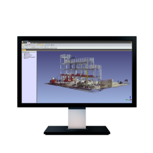
Surfaces & Corridors

Create and deliver surface and parametric corridor models with user-friendly options and multiple graphical views.
With precise volume computations, contour lines, and cut-fill maps, complete the analysis your clients need.
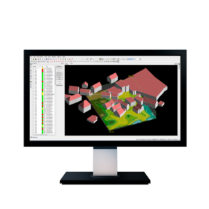
Point Cloud Tools

Work with point cloud data from any source alongside your traditional survey measurements in TBC.
With automated tools like regional classification, density sampling, and feature extraction, you’ll be able to deliver robust CAD and image deliverables.
Aerial Photogrammetry

Import and process imagery from industry-leading unmanned aerial vehicles (UAVs) with streamlined workflows in TBC or customize the setup with the included Inpho UASMaster software.
Then, utilize your survey-grade deliverables including orthomosaics, point clouds, and digital surface models with the CAD, surface, and other tools that TBC offers.
Vertical Workflows

From tunneling, monitoring, and mobile mapping to quantity takeoffs and machine control data prep, TBC features the unique workflows you need to complete your survey and construction data collection, processing, and deliverables.
Interoperability

Connect to other leading software packages from ESRI, Autodesk, and Bentley with geodatabase connections, feature mapping, and CAD exports so you can spend less time moving data between the platforms you need and more time delivering work to your clients.
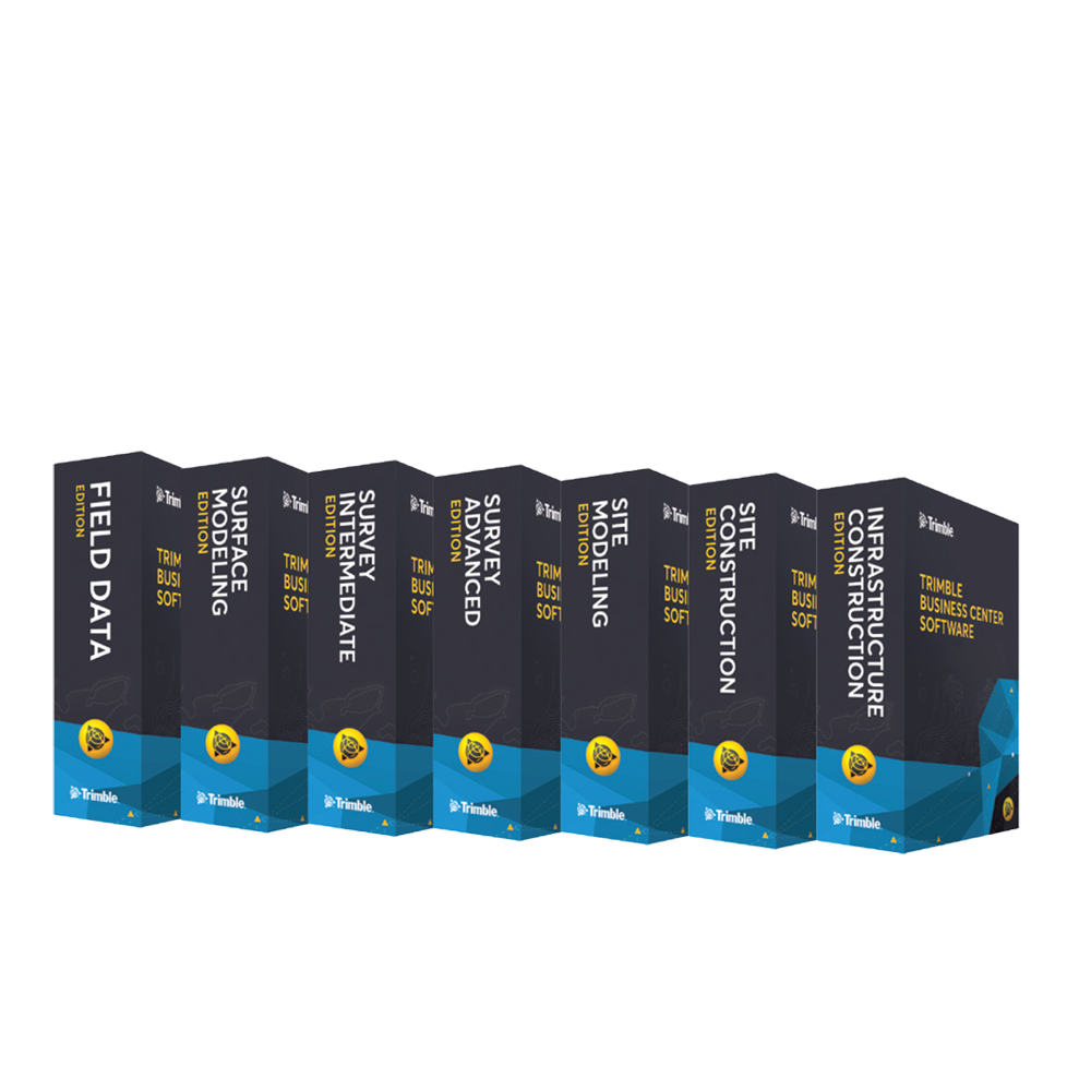
TBC Subscription Plans
It’s time to put software licensing on your terms.
With the new subscription-based licensing plans for Trimble Business Center software, we’re putting you at the center of it all. With lower upfront costs, access to more capabilities, the latest software updates, and visibility into usage, scale your license with your needs.