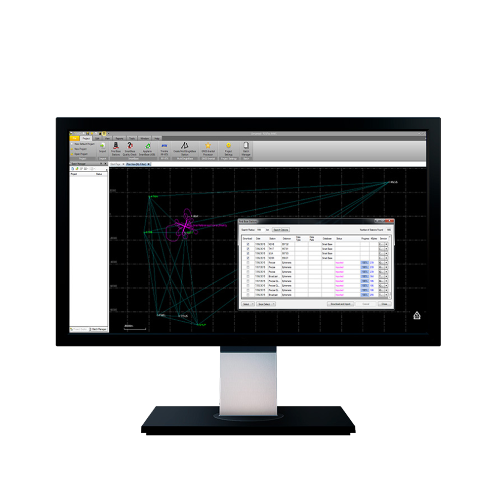
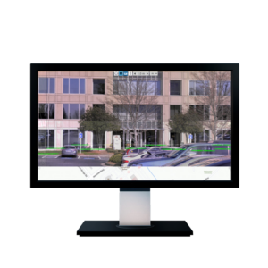
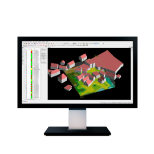
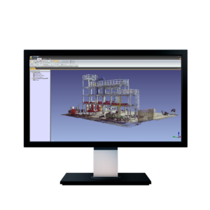
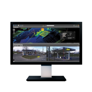
POSPac Mobile Mapping Suite, now with Trimble CenterPoint RTX, is an industry leading GNSS-Aided Inertial post-processing software for georeferencing data collected from cameras, LIDARs and other sensors on mobile platforms.
P
POSPAC Mobile Mapping Suite is your key to powerful, consistent, reliable, and accurate data…every time.
Key features:
- Achieve centimeter-level accuracy without Reference Stations using Post-Processed Trimble CenterPoint RTX
- Reduces re-work costs with “know before you go” in field quality control operations
- Applanix SmartBase and IN-Fusion technology for high accuracy, productivity
- New floating license support – share a single license across a network or between computers
- New user interface and faster processing


